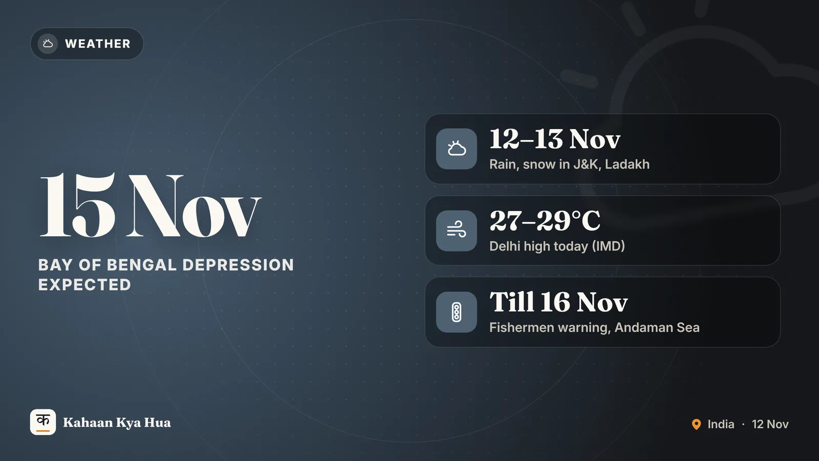
The India Meteorological Department (IMD) has forecast a spell of unsettled weather across the Himalayan states on Thursday, 12 November, while a new weather system is building over the Bay of Bengal. Here is what the department's latest bulletin, issued on Wednesday, 11 November, says for the next few days.
Rain and snow in the north
According to the IMD, a western disturbance is likely to bring fairly widespread to widespread rain or snowfall over Jammu and Kashmir, Ladakh and nearby areas on 12 and 13 November. Isolated heavy rain and hailstorms are likely over Jammu and Kashmir on Thursday. Thunderstorms, lightning and gusty winds of 40-50 kmph, gusting to 60 kmph, are also forecast there during 12-13 November.
Himachal Pradesh may see isolated thunderstorms and lightning on 12 and 13 November. Uttarakhand is likely to get isolated to scattered rain from 12 to 14 November, and Punjab isolated to scattered rain on 12 and 13 November.
A western disturbance is a weather system that forms around the Mediterranean region and travels east, often bringing rain and snow to north-west India in winter.
What it means for Delhi
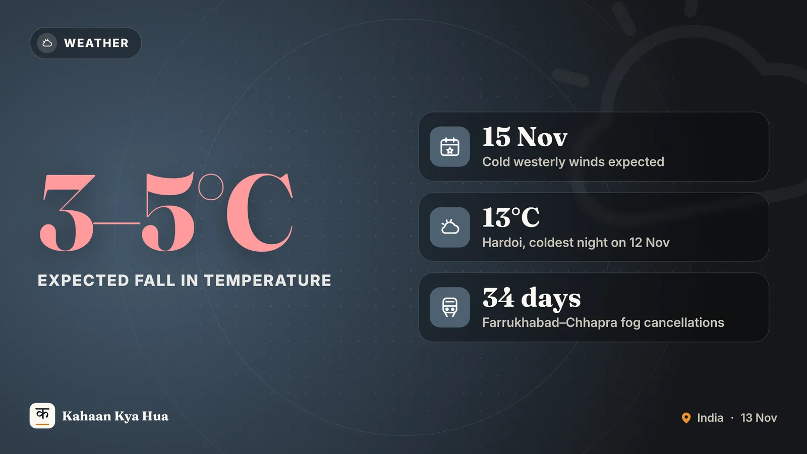
The IMD expects Delhi to be partly cloudy on Thursday, with mist or shallow fog at most places in the morning. The maximum temperature should stay between 27 and 29 degrees Celsius and the minimum between 15 and 17 degrees. Minimum temperatures are expected to be 1.6 to 3 degrees above normal at most places, while maximums are near normal. Winds will be light, from the north-west and west.
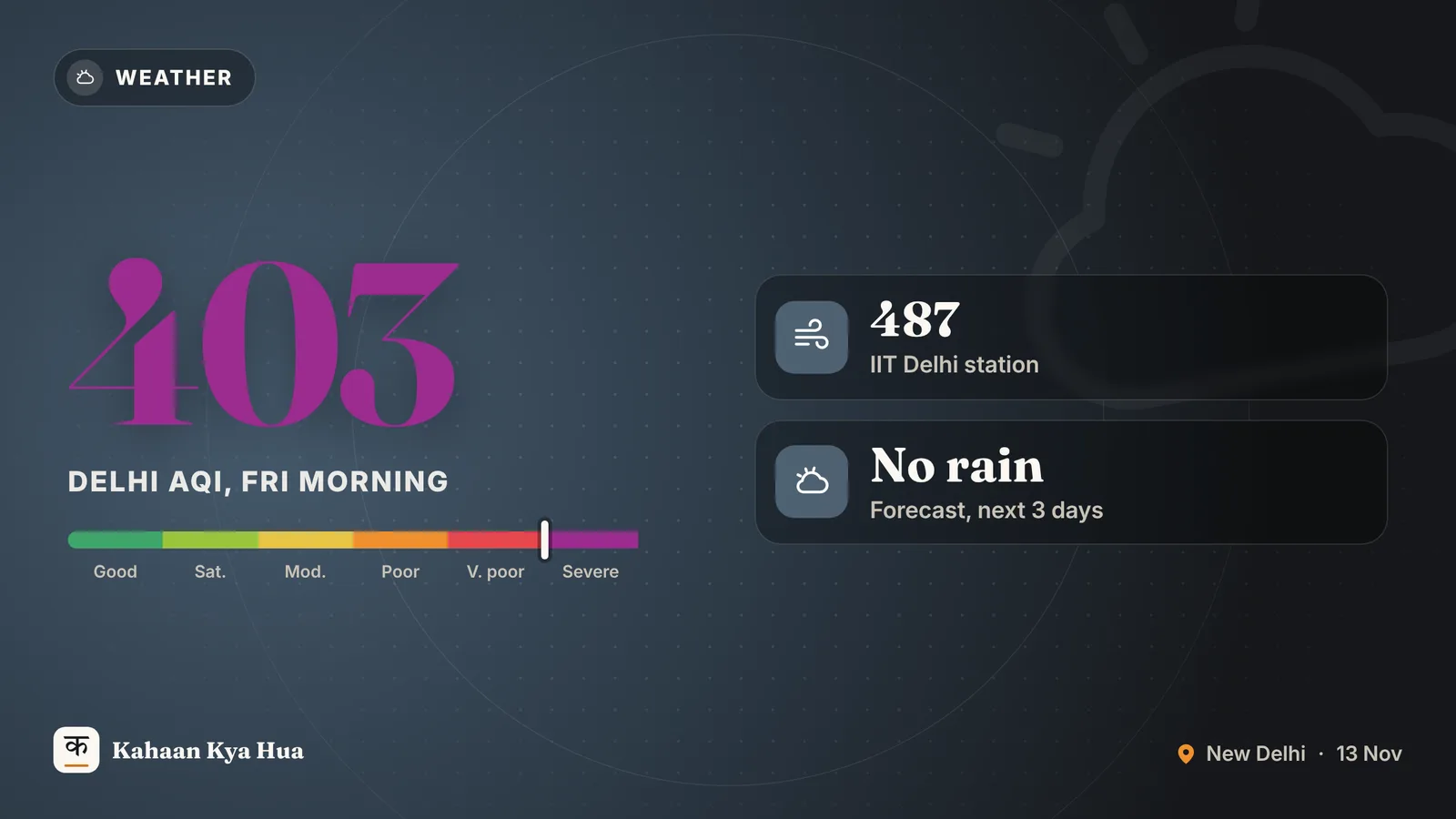
This forecast covers the weather only. Air quality in Delhi remains poor after Diwali; it is tracked separately by the Central Pollution Control Board.
The south and the islands
Isolated to scattered rain is likely over Tamil Nadu, Puducherry, Karaikal, Kerala and Mahe on Thursday, with thunderstorms and lightning on 11-12 November. Lakshadweep may get rain during 11-17 November. The Andaman and Nicobar Islands are likely to see fairly widespread to widespread rain from 11 to 17 November, with isolated heavy spells during 11-14 November.
In the north-east, Arunachal Pradesh, Assam and Meghalaya are likely to get isolated to scattered rain on 11 and 12 November.
The Bay of Bengal system
The IMD says a cyclonic circulation over the south Andaman Sea is likely to lead to a low-pressure area over the south-east Bay of Bengal around 13 November. It is expected to move north-westwards, become a well-marked low-pressure area around 14 November and develop into a depression around 15 November.
The IMD has warned fishermen not to venture into the Andaman Sea until 16 November, into parts of the south-east Bay of Bengal from 13 to 16 November, and into the adjoining east-central Bay of Bengal on 15 November. Wind speeds of 40-50 kmph, gusting to 60 kmph, are forecast over the Andaman Sea and south-east Bay of Bengal, rising to 65 kmph over the south-west Bay of Bengal from 15 to 17 November.
Is another cyclone coming?
Some reports are already talking about another cyclonic storm. The Hindu reports that IMD experts say the system has to be tracked and that it may not turn into a cyclone. A depression is a weaker system than a cyclone. The IMD has not yet issued rainfall alerts for Andhra Pradesh, according to the same report. The northeast monsoon, active from October to December, is an important source of rain for Tamil Nadu and south-east India, so more rain is plausible there in the coming days.
What to do
Travellers to Jammu and Kashmir, Himachal and Uttarakhand should check road and flight status before leaving, as snow and hail can disrupt movement. Fishing communities on the coast should follow the IMD and state disaster management advisories. For daily updates, check the IMD website or the Mausam app, and watch for revised bulletins on 13 and 14 November.