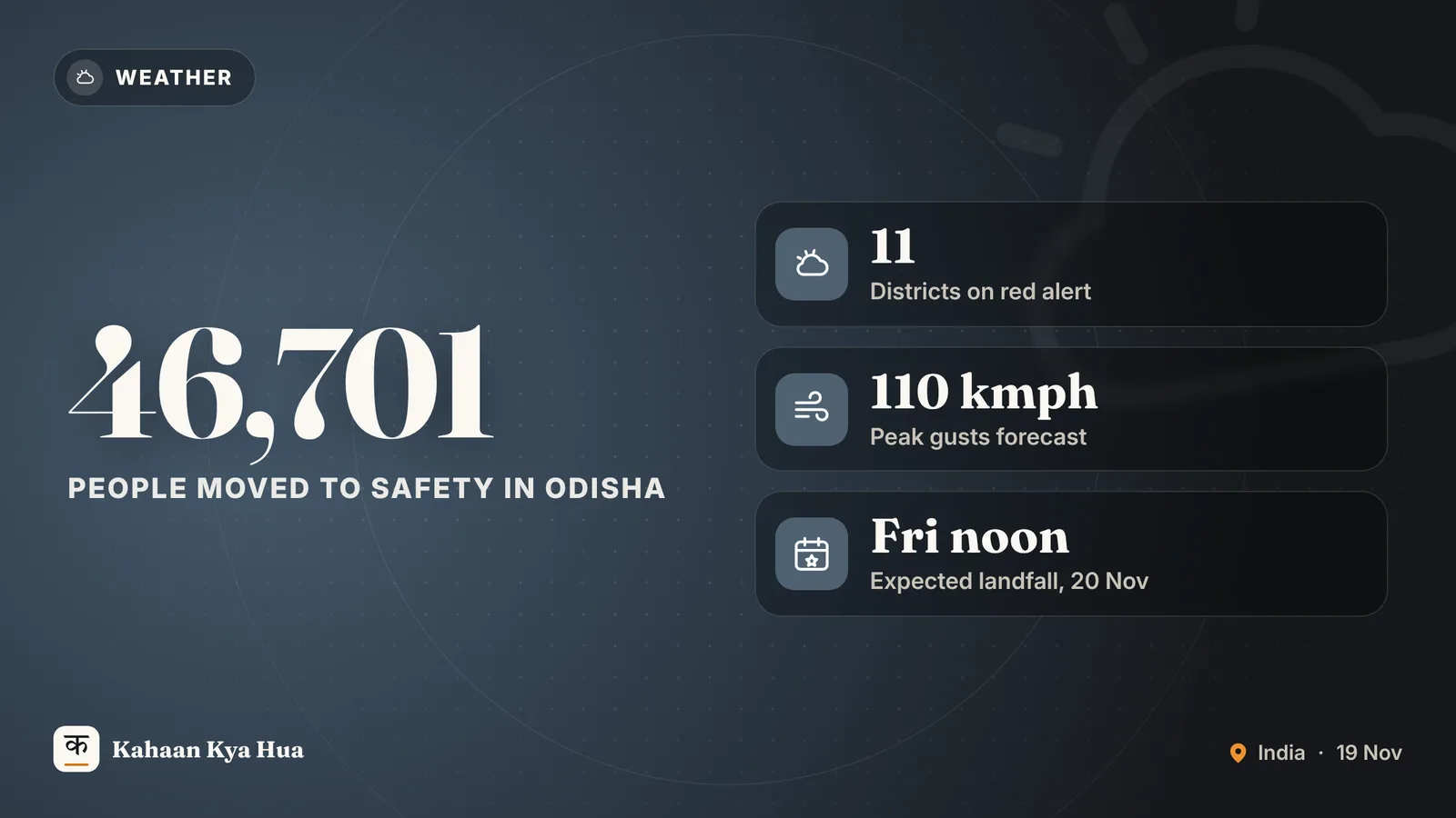
Severe Cyclonic Storm Akvan is moving towards the Andhra Pradesh-Odisha coast over the Bay of Bengal, and Odisha has moved more than 46,000 people to safer places ahead of the expected landfall on Friday, 20 November 2026.
Where is the storm and when will it land?
According to the India Meteorological Department (IMD), as reported by Hindustan Times and the Daily Pioneer, the system was centred over the west-central Bay of Bengal at 2.30 am on Thursday, about 580 km south of Gopalpur and 640 km south of Puri. It is moving north-northwest and is expected to cross the coast between Narsapur in Andhra Pradesh and Puri in Odisha around noon on Friday.
The IMD expects landfall as a severe cyclonic storm, with sustained winds of 90-100 kmph and gusts up to 110 kmph. Officials told the papers that a clearer picture of the track would come on Thursday, because the storm's speed and direction have kept changing. Deccan Chronicle also notes that the system has slowed down, so the exact landfall point may still shift.
Heavy rain in Odisha
The IMD has warned of heavy to very heavy rain across several Odisha districts on 19 and 20 November, with extremely heavy rain at isolated places. Ganjam, Gajapati, Khordha and Puri are named as especially exposed, and some southern parts could see 20-30 cm of rain, according to Deccan Chronicle. Rain and gusty winds were already disturbing normal life in Bhubaneswar on Thursday.
The state has issued a red alert for 11 districts. Ganjam, Malkangiri, Rayagada, Koraput and Kalahandi are expected to face a greater impact. In all, at least 14 districts, including Cuttack, Balasore, Bhadrak, Kendrapara, Jajpur, Dhenkanal, Keonjhar and Mayurbhanj, may be affected by the storm and the rain around it.
What Odisha has done so far
- 46,701 people have been shifted, with pregnant women, children and the elderly given priority. Deccan Chronicle puts the figure at nearly 50,000.
- 448 cyclone shelters are open and another 3,000 are being readied.
- 60 ODRAF teams and 14 NDRF teams have been deployed.
- Chief Minister Mohan Charan Majhi has asked officials to aim for zero casualties and has released Rs 1 crore each in advance to Ganjam and other likely-hit districts. Deccan Chronicle reports Rs 20 crore allotted to 15 districts.
- Four senior Water Resources officials will watch river levels and flood risk from Friday to Sunday.
- The State Selection Board has postponed its recruitment exams.
People living in hilly areas have been asked to move out because of landslide risk, and fishermen have been told not to go to sea.
Schools and travel
Reports differ on school closures. Hindustan Times and the Daily Pioneer say schools and anganwadi centres in nine districts are shut on Thursday and Friday. Deccan Chronicle lists six districts (Ganjam, Gajapati, Puri, Jagatsinghpur, Kendrapara and Kandhamal) closed from 19 to 21 November, and Khordha, including Bhubaneswar, on 19 and 20 November. Parents should check the notice of their own district collector.
Other outlets reported by headline that Andhra Pradesh's Visakhapatnam collector has put officials on alert and that a few trains have been rescheduled. Travellers on the east coast should check their railway and airline status before leaving home.
Why it matters
A storm of this strength can bring flooding, uprooted trees, power cuts and damaged roads in a few hours, and low-lying coastal villages are the most at risk. Reports in Gujarat Samachar and other papers say the system has weakened slightly, but the IMD's own forecast still calls for a severe cyclonic storm at landfall, so the warning has not been lowered.
What next
The next 24 to 36 hours are being treated as the crucial window. Expect fresh IMD bulletins through Thursday and Friday, more evacuations in the red-alert districts and possible changes to the landfall point. Follow the IMD and the state disaster management authority for official updates, and avoid travelling to the coast until the storm has passed.