The short answer
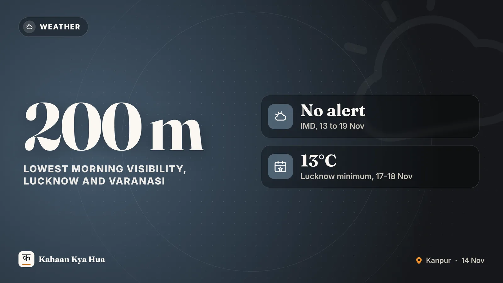
Uttar Pradesh is heading into a dry weekend with misty mornings, sunny afternoons and nights that turn noticeably colder from around 17 November. The India Meteorological Department's (IMD) bulletin of 13 November carries no weather warning for western or eastern UP between 13 and 19 November, and no yellow, orange or red alert has been issued for any district, according to Jagran and Prabhat Khabar.
Fog and visibility
Morning fog is the main thing to plan around. Hindustan and Jagran report that in Lucknow and Varanasi visibility could fall to about 200 metres over the next two to three days, while other parts of the state may see 200 to 800 metres. Jagran says the cause is stable air near the ground, which means fog or haze in the morning and a hazy sun during the day.
Prabhat Khabar lists Lucknow, Kanpur, Barabanki, Sitapur, Hardoi, Bareilly, Meerut, Muzaffarnagar and Saharanpur among the districts where morning visibility may be affected, and Gorakhpur, Deoria, Kushinagar, Basti, Azamgarh, Mau, Ballia, Ghazipur and Varanasi in the east. It stresses that no dense-fog warning is in force. Drivers on highways and expressways should still slow down and keep fog lights on early in the day.
For Kanpur readers, the practical reading is a cool, misty start with sunshine later. We have not found a separate IMD temperature forecast for Kanpur in the sources we read, so the figures below are for Lucknow and Prayagraj.
Rain: only in the west, and only briefly
Jagran reports that scattered rain is possible in western UP on 14 and 15 November as a fresh western disturbance reaches north-west India from 15 November. Weather then clears in the west from 16 to 19 November. Eastern UP is expected to stay dry through the week.
How cold will it get
Prabhat Khabar reports that Lucknow's minimum temperature could drop to around 13 degrees Celsius on 17 and 18 November. Jagran's Prayagraj forecast shows a gentler slide: a minimum of 16 degrees and maximum of 31 on 14 November, 16 and 30 on 15 November, and about 15 and 28 by 18 November, with the overall fall of about 3 degrees starting on 16 November. Days will stay pleasant in the sun; the chill will be felt mostly at night and at dawn.
Why the rest of the country matters
Hindustan notes that a low-pressure area over the south-east Bay of Bengal could intensify into a cyclonic storm by the evening of 16 November, and fishermen have been advised to return to the coast by 15 November. That system is expected to bring rain to Tamil Nadu, Kerala and coastal Andhra Pradesh, not to UP. Fresh snowfall has also been reported in Kashmir, where weather is expected to turn mostly dry from 15 to 21 November.
What to do this week
- Plan early-morning travel by road with extra time, especially towards Lucknow and Varanasi.
- Keep a light jacket for dawn and late evening; heavy woollens are not needed yet.
- People with asthma or other breathing problems should avoid long walks in the foggy early hours.
- Check the IMD bulletin for your district before any long journey, as fog forecasts can change at short notice.
What next
IMD updates its district and state bulletins daily. If visibility forecasts worsen or a cold-day or fog warning is added, we will update this story. For now, the message from the weather office is simple: dry, misty mornings and a cold snap building from 17 November.